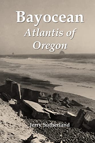
Like Plato’s fictional island kingdom, most of Bayocean sank below the sea long ago. The rest lies buried beneath the shore pine, salal, and beach grass covering the four-mile-long spit that protects Tillamook Bay from the Pacific Ocean. This book chronicles the half-century the Oregon resort town existed, tells the stories of the people involved, and explains its financial and physical demise. Fifty-seven maps, photographs, and diagrams help readers visualize this unique catastrophe.
In 1907, T. B. Potter and his partner, Harkness Chapin, promised urbanites a resort grander than any other along the Pacific Northwest Coast. Lots sold quickly at first, especially those along the spit’s southern, one-hundred-foot-high ridgeline, where simultaneous views of bay and ocean were breathtaking. But Tillamook’s remote location and an economic downturn slowed progress, which Potter and Chapin had not set aside sufficient reserved to deal with. Years of success developing subdivisions in Kansas City, Missouri, Portland, Oregon, and South San Francisco, Half Moon Bay, and San Jose, California had made them overconfident. Lot owners sued for, and eventually were granted, receivership.
As a result, Bayocean Park was never grand, but at one point or another it featured a massive natatorium, three hotels, forty-two rental cabins, a two-story mercantile, two restaurants, three dance halls, an amusement pavilion, and fifty-nine homes. Reed College students ran the resort one summer; a military academy for boys tried but failed another. A commune invigorated the town for a couple of years during the Great Depression, as did Coast Guard war dogs during World War II. These and other episodes in Baycean’s history make it more interesting than most, but the fact that nothing remains makes it matter.
Erosion began pulling homes into the sea in the late 1920s and undercut the Bayocean Natatorium in 1932. More homes fells as the spit’s foredune continued to recede. In November 1952 a storm surge blew 3,000 feet at its base into Tillamook Bay. Four years later, the Army Corps of Engineers built a breakwater to reconnect the island to mainland, destroying what remained of the town in the process. It took geologists, geographers, and oceanographers two decades to determine that the erosion had been caused by faulty jetty planning rather than natural forces, preventing similar environmental disasters by doing so.


